
ឯកសារ:Deutschland Lage Berlins.svg

Size of this PNG preview of this SVG file: ៤៤៣ × ៥៩៩ ភីកសែ. ភាពម៉ត់ផ្សេងទៀត៖ ១៧៧ × ២៤០ ភីកសែ | ៣៥៥ × ៤៨០ ភីកសែ | ៥៦៧ × ៧៦៨ ភីកសែ | ៧៥៧ × ១០២៤ ភីកសែ | ១៥១៣ × ២០៤៨ ភីកសែ | ៥៩២ × ៨០១ ភីកសែ។
រូបភាពដើម (ឯកសារប្រភេទSVG ៥៩២ × ៨០១ ភីកសែល ទំហំឯកសារ៖ ១០៨គីឡូបៃ)
| ការពិពណ៌នា |
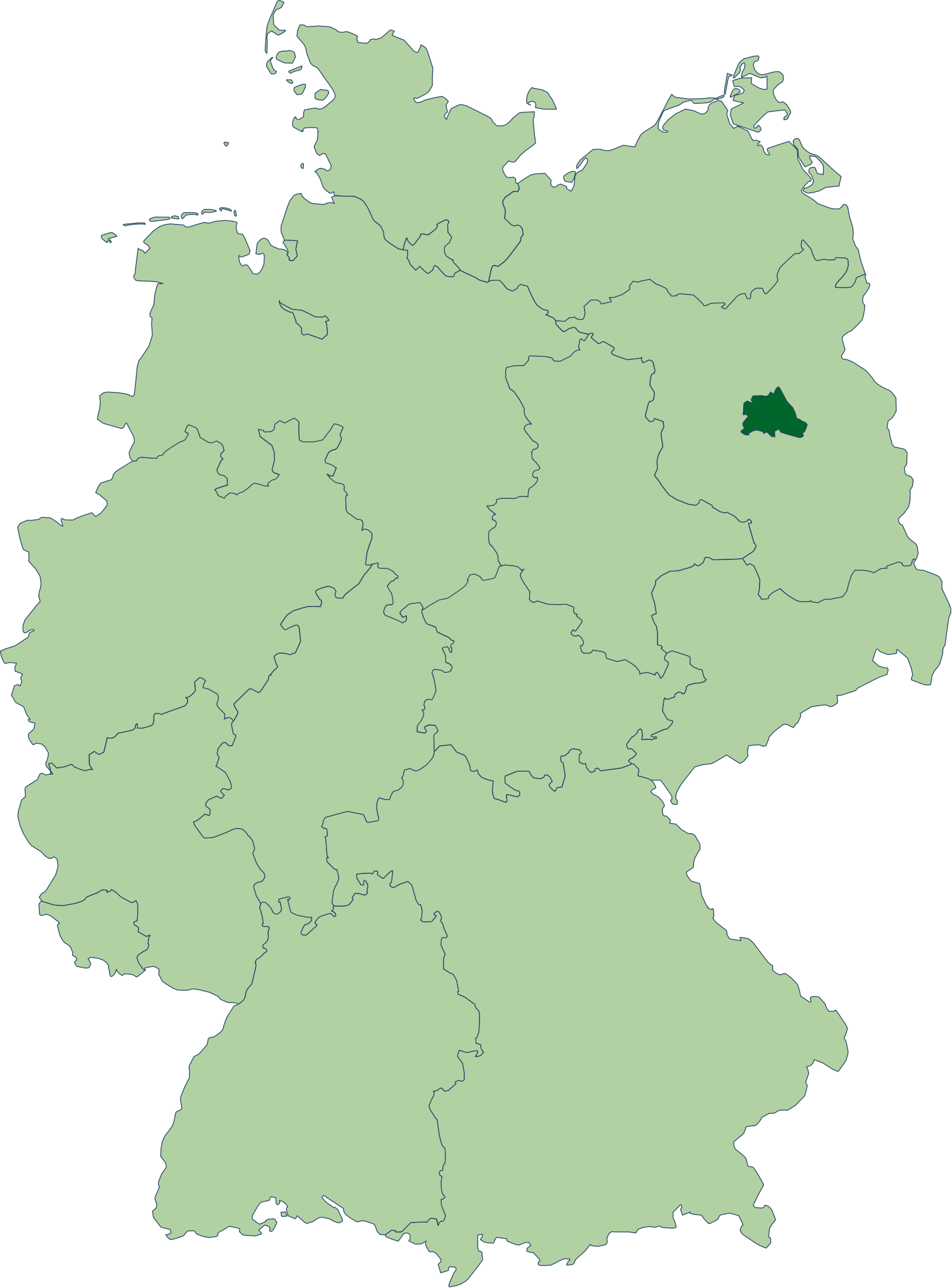
Deutsch: Karte der Bundesrepublik Deutschland mit eingezeichneten Grenzen und alphabetischer Nummerierung der Bundesländer. Berlin ist farblich hervorgehoben. |
| កាលបរិច្ឆេទ | |
| ប្រភព | Erstellt aus Material des gemeinsamen Datenangebotes aus dem gemeinsamen Portal der statistischen Ämter des Bundes und der Länder (DeStatis). [1] |
| អ្នកនិពន្ធ | David Liuzzo |
| ការអនុញ្ញាត (ប្រើឯកសារនេះឡើងវិញ) |
ឯកសារនេះជាប់អាជ្ញាបណ្ឌCreative Commons Attribution-Share Alike 2.0 Germany។
 |
| SVG genesis | រូបភាពក្រាភិកវ៉ិចទ័រនេះត្រូវបានបង្កើតឡើងដោយប្រើ Adobe Illustrator. |
| Annotations | This image is annotated: View the annotations at Commons |
ប្រវត្តិឯកសារ
ចុចលើម៉ោងនិងកាលបរិច្ឆេទដើម្បីមើលឯកសារដែលបានផ្ទុកឡើងនៅពេលនោះ។
| ម៉ោងនិងកាលបរិច្ឆេទ | កូនរូបភាព | វិមាត្រ | អ្នកប្រើប្រាស់ | យោបល់ | |
|---|---|---|---|---|---|
| បច្ចុប្បន្ន | ម៉ោង២២:១៧ ថ្ងៃសៅរ៍ ទី១៤ ខែតុលា ឆ្នាំ២០០៦ | | ៥៩២ × ៨០១ (១០៨គីឡូបៃ) | David Liuzzo | {{Information| |Description= {{de|Karte der Bundesrepublik Deutschland mit eingezeichneten Grenzen und alphabetischer Nummerierung der Bundesländer. Berlin ist farblich hervorgehoben.}} |Source= Erstellt aus Materia |
បម្រើបម្រាស់ឯកសារ
ទំព័រ ខាងក្រោមប្រើប្រាស់ឯកសារនេះ ៖
បម្រើបម្រាស់ឯកសារជាសាកល
វីគីដទៃទៀតដូចខាងក្រោមនេះប្រើប្រាស់ឯកសារនេះ៖
- ការប្រើប្រាស់នៅក្នុង an.wikipedia.org
- ការប្រើប្រាស់នៅក្នុង azb.wikipedia.org
- ការប្រើប្រាស់នៅក្នុង bh.wikipedia.org
- ការប្រើប្រាស់នៅក្នុង cbk-zam.wikipedia.org
- ការប្រើប្រាស់នៅក្នុង cs.wikipedia.org
- ការប្រើប្រាស់នៅក្នុង de.wikipedia.org
- Freie Demokratische Partei
- Junge Union
- Die Republikaner
- Partei Mensch Umwelt Tierschutz
- Die PARTEI
- Liberale Demokraten
- Wikipedia:Quiz
- Sozialdemokratische Partei Deutschlands
- Benutzer:Berlinersorbenbayer/Berlin
- Flaggen und Wappen der Länder der Bundesrepublik Deutschland
- Die Linke
- Bergpartei, die Überpartei
- Benutzer:K4210/Bav-Baustelle
- Deutsche Mitte
- Berliner Rugby-Verband
- Benutzer:Connoisseur of politics/Parteivorsitzende
- Freiparlamentarische Allianz
- ការប្រើប្រាស់នៅក្នុង de.wikivoyage.org
- ការប្រើប្រាស់នៅក្នុង de.wiktionary.org
- ការប្រើប្រាស់នៅក្នុង dsb.wikipedia.org
- ការប្រើប្រាស់នៅក្នុង dty.wikipedia.org
- ការប្រើប្រាស់នៅក្នុង en.wikipedia.org
- ការប្រើប្រាស់នៅក្នុង en.wiktionary.org
- ការប្រើប្រាស់នៅក្នុង eo.wikipedia.org
- ការប្រើប្រាស់នៅក្នុង es.wikipedia.org
- ការប្រើប្រាស់នៅក្នុង fr.wikipedia.org
- ការប្រើប្រាស់នៅក្នុង fr.wikiversity.org
- ការប្រើប្រាស់នៅក្នុង fr.wiktionary.org
- ការប្រើប្រាស់នៅក្នុង ga.wiktionary.org
- ការប្រើប្រាស់នៅក្នុង gv.wikipedia.org
- ការប្រើប្រាស់នៅក្នុង ht.wikipedia.org
- ការប្រើប្រាស់នៅក្នុង hu.wikipedia.org
View more global usage of this file.